i
The Global Fundamental Geospatial Data
Themes
UN-GGIM
U N I T E D N A T I O N S
COMMITTEE OF EXPERTS ON
GLOBAL GEOSPATIAL
INFORMATION MANAGEMENT
ii
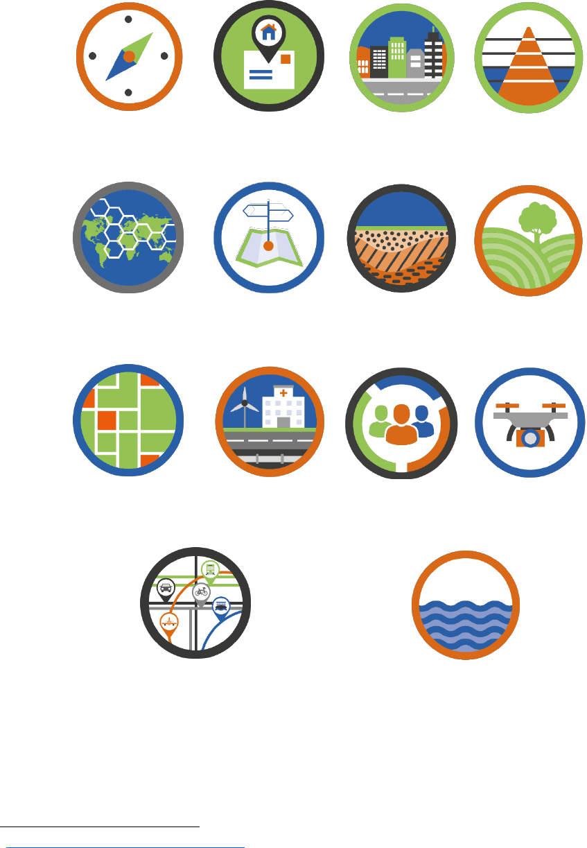
The 14 Global Fundamental Geospatial Data Themes
Global Geodetic
Reference Frame
Addresses
Buildings and
Settlements
Elevation and
Depth
Functional Areas
Geographical
Names
Geology and
Soils
Land Cover and
Land Use
Land Parcels
Physical
Infrastructure
Population
Distribution
Orthoimagery
Transport Networks
Water
The Front and back covers detail the matching of the 14 Global Fundamental Geospatial Data Themes to
the 17 Sustainable Development Goals during the “International Workshop on Global Fundamental
Geospatial Data Themes for Africa”, UNECA, Addis Ababa, Ethiopia on 25 to 27 April 2018
1
.
1
http://ggim.un.org/meetings/2018-Addis_Ababa/

iii
Department of Economic and Social Affairs
Statistics Division
Global Geospatial Information Management Secretariat
The Global Fundamental Geospatial Data Themes
United Nations
New York, 2019
UN- G G I M
U N I T E D N A T I O N S
COMMITTEE OF EXPERTS ON
GL O B A L GE O S P A T I AL
INFORMATION MANAGEMENT
iv
This page left intentionally blank
v
Department of Economic and Social Affairs
The Department of Economic and Social Affairs of the United Nations Secretariat is a vital
interface between global policies in the economic, social and environmental spheres and
national action. The Department works in three main interlinked areas: (i) it compiles,
generates and analyses a wide range of economic, social and environmental data and
information on which States Members of the United Nations draw to review common problems
and to take stock of policy options; (ii) it facilitates the negotiations of Member States in many
intergovernmental bodies on joint courses of action to address ongoing or emerging global
challenges; and (iii) it advises interested Governments on the ways and means of translating
policy frameworks developed in United Nations conferences and summits into programmes at
the country level and, through technical assistance, helps build national capacities.
Statistics Division
The United Nations Statistics Division (UNSD) is committed to the advancement of the global
statistical and geospatial systems. It compiles and disseminates global statistical information,
develops standards and norms for statistical and geospatial activities, and supports countries'
efforts to strengthen their national statistical and geospatial information systems. UNSD
facilitates the coordination of international statistical and geospatial activities and supports the
functioning of the United Nations Statistical Commission, the United Nations Committee of
Experts on Global Geospatial Information Management, and the United Nations Group of
Experts on Geographic Names as the apex entity of the global statistical and geospatial systems.
United Nations Committee of Experts on Global Geospatial Information
Management
The United Nations Committee of Experts on Global Geospatial Information Management (UN-
GGIM) is the apex intergovernmental body to discuss, enhance and coordinate global geospatial
information management activities by involving Member States at the highest level, to work
with Governments to make joint decisions and set directions on the use of geospatial
information within national and global policy frameworks, and to develop effective strategies
to build geospatial capacity in developing countries.
Notes
The designations used and the presentation of material in this publication do not imply the
expression of any opinion whatsoever on the part of the Secretariat of the United Nations
concerning the legal status of any country, territory, city or area, or of its authorities, or
concerning the delimitation of its frontiers or boundaries. The term “country” as used in this
publication also refers, as appropriate, to territories or areas. The designations “developed
regions” and “developing regions” are intended for statistical convenience and do not
necessarily express a judgment about the stage reached by a particular country or area in the
development process.

vi
Preface
This publication presents the Global Fundamental Geospatial Data Themes as 14 themes
considered fundamental to strengthening a country’s geospatial information infrastructure. UN-
GGIM, at its seventh session under decision 7/104, adopted the proposed minimum list of global
fundamental geospatial data themes. At its eighth session, the detailed theme descriptions were
presented. An interactive presentation of the themes
2
, developed by the UN-GGIM Secretariat,
acts as a companion piece to this publication.
Implementing the themes will necessitate the integration of information from National Geospatial
Information and Mapping Agencies, National Statistical Offices and other institutions to produce
standardised, fundamental data, for use within Member States, and also, to support initiatives
such as the implementation of the 2030 Sustainable Development Agenda and its 17 Sustainable
Development Goals (SDGs). They are also a key supporting foundation for overarching policies,
such as the Integrated Geospatial Information Framework.
The themes were developed by the Working Group on Global Fundamental Geospatial Data
Themes
3
and led by UN-GGIM: Europe. This Working Group comprised representatives from
national governments and international organisations. The work programme of the Working
Group was conducted in a highly interactive and engaging process of consultation with all of UN-
GGIM’s Regional Committees, Subcommittee, and Working- and Expert groups, ensuring that
where possible existing resources were used. During this consultation to establish the themes and
their descriptions, there was a specific focus to consider the needs of small island developing
states (SIDS) and that the themes were developed to be technical in nature.
2
https://undesa.maps.arcgis.com/apps/Cascade/index.html?appid=4741ad51ff7a463d833d18cbcec29fff
3
http://ggim.un.org/documents/Global_Fundamental_Geospatial_Data_Themes-TOR.pdf
vii
Table of Contents
Introduction .................................................................................................................................................. 8
The 14 Global Fundamental Geospatial Data Themes ................................................................................. 9
Global Geodetic Reference Frame.......................................................................................................... 12
Addresses ................................................................................................................................................ 14
Buildings and Settlements ...................................................................................................................... 16
Elevation and Depth ............................................................................................................................... 18
Functional Areas ..................................................................................................................................... 20
Geographical Names ............................................................................................................................... 22
Geology and Soils .................................................................................................................................... 24
Land Cover and Land Use ....................................................................................................................... 26
Land Parcels ............................................................................................................................................ 28
Orthoimagery ......................................................................................................................................... 30
Physical Infrastructure ............................................................................................................................ 32
Population Distribution .......................................................................................................................... 34
Transport Networks ................................................................................................................................ 36
Water ...................................................................................................................................................... 38
Summary ..................................................................................................................................................... 40

8
Introduction
Geospatial information is crucial for informed social, economic, and environmental decision making – the
three pillars of sustainable development. However, geospatial information is often a scarce resource, if it
exists at all. When committing to developing initiatives to collect geospatial information, there is a
plethora of options for countries to explore; but what are the fundamental data needs that offer the best
opportunity for a country to thrive? Africa, through the United Nations Economic Commission for Africa
was the first to recognise this challenge and took the lead in developing fundamental geospatial data,
with their publication “Determination of Fundamental Datasets for Africa”
4
, with the definition
“Fundamental data sets are the minimum primary sets of data that cannot be derived from other data
sets, and that are required to spatially represent phenomena, objects, or themes important for the
realisation of economic, social, and environmental benefits consistently across Africa at the local, national,
sub-regional and regional levels”. This work was recognised at the global level by the Committee of
Experts on United Nations Global Geospatial Information Management (UN-GGIM), which since 2012 has
led work to develop Global Fundamental Geospatial Data Themes.
At its second session, held in August 2012, UN-GGIM considered an inventory of issues gathered by the
Member States that should be addressed in the coming years
5
. At the request of the Committee,
considerations were given to identifying a selection of immediate and prioritized ‘key issues’ that were
seen as being the most relevant and important, and that could be considered realistic to make tangible
progress within the next few years.
At its fourth session, held in August 2014, the Committee considered the report on determination of global
fundamental geospatial data themes
6
, and agreed that such data themes need to be integrated and
harmonised from the national to global levels, and that actions should be taken in order for Member
States and the international community to work jointly towards the preparation, improvement and
maintenance of fundamental geospatial data themes, building on existing national and regional
fundamental datasets. This urgent need was reinforced at its fifth session in 2015
7
, where the Committee
adopted decision 5/103, noting that there is “an urgent need for a set of global fundamental geospatial
data themes that could be harmonized in order to enable the measurement, monitoring and management
of sustainable development in a consistent way over time and to facilitate evidence-based decision-
making and policy-making”
Accordingly, at its seventh session, held in August 2017, the Committee adopted decision 7/104, in which
it adopted the proposed minimum list of 14 global fundamental geospatial data themes. Furthermore, at
its eighth session in August 2018, the Committee welcomed the expanded theme descriptions.
Now, in 2019, the 14 global fundamental geospatial data themes are a foundation to support global
geospatial information management, notably used to support the integrated geospatial information
framework, among other global initiatives to strengthen geospatial information. This publication provides
key information on the themes and demonstrate what they are, how they can be used, and why they are
fundamental.
4
https://www.uneca.org/sites/default/files/PublicationFiles/geoinformation_socio_economic_dev-en.pdf
5
E/C.20/2012/5/Add.1
6
E/C.20/2014/4/Add.1
7
E/C.20/2015/4/Add.1

9
The 14 Global Fundamental Geospatial Data Themes
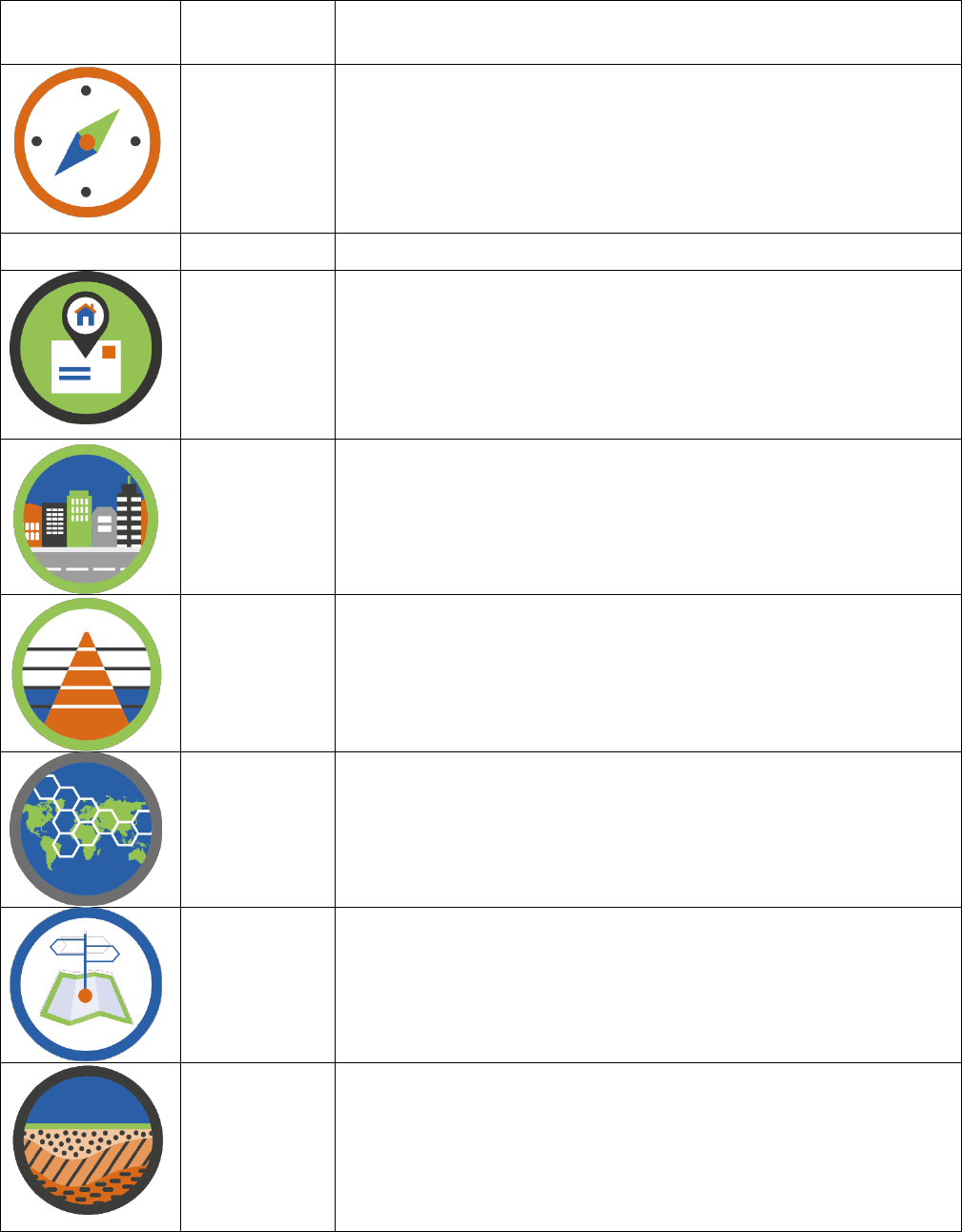
10
Logo
Reference
Frame
Brief Description
Global
Geodetic
Reference
Frame (GCRF)
The Global Geodetic Reference Frame is the framework which
allows users to precisely determine and express locations on the
Earth, as well as to quantify changes of the Earth in space and
time. It is not a data theme in the sense of the other themes, but
it is a prerequisite for the accurate collection, integration, and
use of all other geospatial data.
Theme
Addresses
An Address is a structured label, usually containing a property
number, a street name and a locality name. It’s used to identify a
plot of land, a building or part of a building, or some other
construction, together with coordinates indicating their
geographic position. Addresses are often used as a proxy for
other data themes such as Land Parcels.
Buildings and
Settlements
A Building refers to any roofed structure permanently
constructed or erected on its site, for the protection of humans,
animals, things, or the production of economic goods.
Settlements are collections of buildings and associated features
where a community carries out socio-economic activities.
Elevation and
Depth
The Elevation and Depth theme describes the surface of the Earth
both on land and under a body of water, relative to a vertical
datum.
Functional
Areas
Functional Areas are the geographical extent of administrative,
legislative, regulatory, electoral, statistical, governance, service
delivery and activity management areas.
Geographical
Names
Geographical Names provide orientation and identity to places.
They are location identifiers for cultural and physical features of
the real world, such as regions, settlements, or any feature of
public or historical interest. They are often used as a proxy for
other data themes such as Buildings and Settlements.
Geology and
Soils
Geology is the composition and properties of geologic materials
(rocks and sediments) underground and outcropping at the
Earth’s surface. It includes bedrock, aquifers, geomorphology for
land and marine environments, mineral resources and overlying
soils. Soils are the upper part of the Earth’s crust, formed by
mineral particles, organic matter, water, air, and living organisms.
11
Land Cover
and Land Use
Land Cover represent the physical and biological cover of the
Earth’s surface. Land Use is the current and future planned
management, and modification of the natural environment for
different human purposes or economic activities.
Land Parcels
Land Parcels are areas of land or more generally of the Earth’s
surface (land and/or water) under common rights (such as
ownership or easements), claims (such as minerals or indigenous
land) or use. This theme can include individual fields and
cadastral parcels.
Orthoimagery
Orthoimagery is geo-referenced rectified image data of the
Earth's surface, from satellite or airborne sensors. Although
technically not a theme in its own right, Orthoimagery is included
as, when interpreted, it’s a widely-used data source for many
other data themes.
Physical
Infrastructure
The Physical Infrastructure theme includes industrial & utility
facilities, and the service delivery facilities associated with
administrative & social governmental services such as public
administrations, utilities, transport, civil protection, schools and
hospitals.
Population
Distribution
The Population Distribution theme covers the geographical
distribution of people, including population characteristics.
Transport
Networks
Transport Networks are the suite of road, rail, air, cable and
water transport routes and their connectivity.
Water
The Water theme covers the extent and conditions of all water
features including rivers, lakes and marine features.

12
Global Geodetic Reference Frame
The Global Geodetic Reference Frame
(GGRF) is the framework which allows
users to precisely determine and express
locations on the Earth, as well as to
quantify changes of the Earth in space
and time. It is not a data theme in the
sense of the other themes, but it is a
prerequisite for the accurate collection,
integration and use of all other geospatial
data.
Photo Credit: Having a global geodetic reference frame is key for precise observations. Photo: Andrick Lal, in Fuji
13
Why is this theme fundamental?
Geospatial data is collected using diverse measurement and observation techniques, with varying levels
of accuracy, and observed at different times. When this data is referenced to a Geodetic Reference Frame
it obtains higher levels of usability, interoperability and therefore potential use. It allows the data to be
confidently reinstated or integrated, and projected through time for use at a different epoch.
Which sustainable development goals (SDGs) will it help to meet?
Wherever geospatial data is used to contribute to a SDG, the Geospatial Reference Framework is an
inseparable part. Geospatial data is most important to SDGs 2, 6, 7, 8, 9, 10, 11, 12, 13, 14, 15 and 16.
Geospatial data features in more detail
The GGRF includes, but is not limited to: products that provide realisations of the international celestial
and terrestrial reference frames (ICRF and ITRF); the component technique observing systems, data
centres, analysis centres, and combination and product centres; gravimetric products and physical height
systems; and the physical infrastructure and services that allow access to the Reference Frame.
The International Terrestrial Reference System (ITRS), the ICRF and the ITRF are the fundamental
geospatial data features for a Geospatial Reference Framework. An ITRS is a spatial reference system that
is co-rotating with the Earth. In such a system, positions of points anchored on the Earth’s surface,
together with continuous and episodal observations, define geospatial coordinates which undergo only
small variations with time. The ITRF is a set of physical datum points with precisely determined
coordinates in a specific coordinate system attached to the ITRS. Such an ITRF is said to be a realization of
the ITRS. The rotation of the Earth is measured with respect to a frame tied to stellar objects, the ICRF.
Earth Orientation Parameters (EOP) connect these two frames together. Four main geodetic techniques
are used to compute accurate coordinates; Global Navigation Satellite Systems (GNSS), Very Long Baseline
Interferometry (VLBI), Satellite Laser Ranging (SLR) and Doppler Orbitography and Radiopositioning
Integrated by Satellite (DORIS).
Many nations have national coordinate reference systems (Datums) for application within their country.
Increasingly these national systems are being closely aligned to the ITRF which allows interoperability
between data collected on these national datums with coordinates derived from GNSS systems.
Possible sources of data
• International Earth Rotation and Reference Systems Service (IERS): establish and maintain the
ICRF and the ITRF.
• International GNNS Service (IGS): collects, archives, and distributes GNSS observation datasets.
• International VLBI Service (IVS): data required for the determination of the ICRF, the ITRF, and
EOP.
• International Laser Ranging Service: weekly station coordinates and daily EOP estimates.
• International DORIS Service (IDS): reference frame station coordinates and velocities, satellite
orbits, geocenter motion, and EOP.
• Many national governments and some private corporations: provide access to real-time and post-
processed GNSS data streams and Satellite-Based Augmentation Systems (SBAS).
Existing data standards
• International and National Standards covering coordinate reference systems.
The IERS has a range of conventions that contain models, constants and standards.

14
Addresses
An address is a structured label, usually
containing a property number, a street
name and a locality name. It’s used to
identify a plot of land, a building or part
of a building, or some other construction,
together with coordinates indicating their
geographic position. Addresses are often
used as a proxy for other data themes
such as Land Parcels.
15
Why is this theme fundamental?
Addresses underpin government administration at all levels; and good administration is a prerequisite for
achieving sustainable development goals. An address is often the unit to which a public service, such as
water, is provided. Addresses also enable effective communication with citizens; informing them of
policies applying to them, and notifying them of relevant incidents. The theme also helps in managing
buildings and properties, and supports social surveys. Datasets relating to individuals or households are
often linked to addresses, which can therefore play a role in connecting otherwise-unrelated information.
Geocoding addresses relates such information to geographic location. This allows for location-based data
analytics and data mining.
Which sustainable development goals (SDGs) will it help to meet?
Addresses have been identified as playing a key role in the achievement of SDGs 4,6,7, 9 and 11.
Geospatial data features in more detail
The addresses theme comprises a single feature type, address, to which a variable number of attributes
may be attached. Typically, in urban areas these comprise at least one locator (building, floor or apartment
number and/or name), a two-dimensional geographic position and a number of address components
which place the address within other features such as a road, a locality, an administrative unit or postal
code. In rural areas the locator may be less precise.
Possible sources of geospatial data
Address datasets are usually maintained by public authorities. While data may be created and maintained
at local level, it should ideally be compiled into a single national register.
Existing geospatial data standards
Note: This is indicative. Other lists of standards exist and UN-GGIM will seek to work with thematic experts
to develop a list of relevant data standards.
• INSPIRE Data Specification on Addresses – Technical Guidelines 3.1;
• ISO 19160-1:2015 Addressing -- Part 1: Conceptual model;
• ISA Programme Location Core Vocabulary; and,
• ISO 19160-4(UPU, Universal Postal Union) Addressing--Part4: International postal address
components and template language.
16
Buildings and Settlements
A building refers to any roofed structure
permanently constructed or erected on
its site, for the protection of humans,
animals, things, or the production of
economic goods. Settlements are
collections of buildings and associated
features where a community carries out
socio-economic activities.
17
Why is this theme fundamental?
Buildings and settlements are the structures and locations in which populations live and carry out
economic activity. As such this theme’s main use is to locate population and its distribution. Settlements
may be used at different levels of detail - from local to global.
Buildings and settlements are required for a set of fundamental use cases, including:
• Collection of statistics;
• Provision of public services to buildings;
• Resource management;
• Emergency management;
• Planning for urban development;
• Natural disaster (flood, earthquake, fire) preparedness;
• Validation for tax purposes; and,
• Application to mapping - to represent populated places and for navigation systems.
Which sustainable development goals (SDGs) will it help to meet?
It is strongly relevant for SDGs 9,11, 12 and relevant for SDGs 1, 3,4,6,7 and 13.
Geospatial data features in more detail
Buildings are independent, free‐standing structures generally covered by a roof and enclosed within
external walls. However, in some cases, a building may consist of a roof with supports, in some other
cases, a roofless structure consisting of a space enclosed by walls may be considered a building. Buildings
also include separately usable underground constructions which people can enter.
The Buildings and Settlements theme spans various scales or resolutions. The Building is at the more
granular level, which at a smaller scale might be referred to as a ‘built up area’. A settlement is formed by
a collection of built-up areas, including dwellings, other buildings, and associated land.
Minimum attributes for both are the location geometry and an identifier of some type. Additional useful
attributes of buildings include links to its address and its functional classification. For settlements
additional attributes might include an indication of population size.
Possible sources of geospatial data
Building and Settlement datasets are usually maintained by public authorities, at national and sub-
national/regional or local level. It should be compiled into a single national register. Building databases
are used directly as a reference dataset for locating settlements.
Existing geospatial data standards
Note: This is indicative. Other lists of standards exist and UN-GGIM will seek to work with thematic experts
to develop a list of relevant data standards.
• INSPIRE Data Specification on Buildings. Land Use, Land Cover and Geographical Names;
• CityGML; and,
• BIM Data Standards.
18
Elevation and Depth
This theme describes the surface of the
Earth both on land and under a body of
water, relative to a vertical datum.
19
Why is this theme fundamental?
This theme recognises the importance of integrated models describing a continuous surface for land and
submerged areas (e.g. an integrated land-sea model). All human activities and natural processes are
influenced by the elevation or the depth of the location where they happen. Elevation is essential to help
determine appropriate places for human developments and activities, to map relief in 2D maps and to
build 3D models, to delimitate drainage basins in hydrology, to map floodplain areas, to support national
forest inventories, to forecast the propagation of physical phenomena (such as pollution, flooding,
landslide risks, etc.) to understand ecosystems, and to understand climate change. Depth plays a key role
in the effective governance, management, and safe and sustainable use of the oceans, seas and marine
resources
Which sustainable development goals (SDGs) will it help to meet?
Elevation and Depth have a significant contributing role in SDGs 1,2,3,6,7,11,13, 14 and 15.
Geospatial data features in more detail
This theme contains vertical distances from a reference surface. It includes the shape of the surface of the
Earth both on land and under a body of water such as oceans, seas, lakes and rivers. Elevations and Depth
measure the distance and the shape of the Earth and its features in relation to a reference surface
(datum).
This data is usually supplied in the form of Digital Elevation Models (DEMs), Digital Surface Models (DSM),
contours, isolated points, break lines, point clouds etc.
Possible sources of geospatial data
National Mapping Agencies are tasked to collect, manage and disseminate the elevations of their territory.
Comprehensive and authoritative national bathymetric datasets are maintained by national Hydrographic
Offices or Authorities. A global bathymetric dataset of the seas and oceans is maintained by the
International Hydrographic Organization (IHO) in its Data Centre for Digital Bathymetry (IHO DCDB),
which, in turn, supports the General Bathymetric Chart of the Ocean (GEBCO) project. The commercial
sector also collects and sells elevation and bathymetric data - usually to meet specific customer
requirements.
Existing geospatial data standards
Note: This is indicative. Other lists of standards exist and UN-GGIM will seek to work with thematic experts
to develop a list of relevant data standards.
• INSPIRE Data Specification and Technical Guidelines on Elevation;
• Guidelines DGIWG 116-1, Elevation Surface Model Standardised Profile, Edition 1.0.0;
• USGS Digital Elevation Model Standards;
• S-44 - IHO Standards for Hydrographic Surveys;
• S-57 - Transfer Standard for Digital Hydrographic Data;
• S-100 - IHO Universal Hydrographic Data Model; and,
• S-102 - Bathymetric Surface Product Specification.
20
Functional Areas
Functional Areas are the geographical
extent of administrative, legislative,
regulatory, electoral, statistical,
governance, service delivery and activity
management areas.
21
Why is this theme fundamental?
Functional areas relate to, and support, the organisation and management of people, communities,
society, and their activities in geographic space. These areas arise from human decisions. Linking data to
administrative and functional geographies provides the spatial component that further enables data
integration and broader comparability. It’s also the key to informing stakeholders on the status of
international, national and sub-national policy objectives and programme goals/deliverables. As a result,
they are the building blocks of many processes relevant to sustainable development goals. Functional
areas form the link between data collection and implementation of actions. They can be used to visualise
data, but also for analytical purposes and, if stable, trends over time. In the natural environment context
(including marine) they are key units for implementation and monitoring.
Which sustainable development goals (SDGs) will it help to meet?
Functional areas are relevant for most, if not all, of the SDGs which relate to people, and marine
administrative units are relevant for actions which apply to sea areas.
Geospatial data features in more detail
Functional Areas are essentially human-defined virtual areas, often organised in a hierarchical way. Their
key attributes are: geometry, level (in the hierarchy), code, name, and function.
Functions include protected sites, planning zones, statistical units, flood zones, school catchments,
agricultural zones, administrative areas, etc.
Possible sources of geospatial data
It’s mainly government functions which require Functional Areas, so the data relating to them is usually
available from public sources. These sources may be at different levels of government.
Existing geospatial data standards
Note: This is indicative. Other lists of standards exist and UN-GGIM will seek to work with thematic experts
to develop a list of relevant data standards.
• INSPIRE Data Specification on Area Management/Restriction/Regulation Zones and Reporting
units;
• INSPIRE Data Specifications for Administrative Units;
• INSPIRE Data Specifications for Statistical Units;
• INSPIRE Data Specifications for Protected Sites;
• ISO 14825 Intelligent transport systems-Geographic Data Files (GDF)-GDF5.0; and,
• ISO 19152: Land Administrative Domain Model (Spatial Unit Group).
22
Geographical Names
Geographical names provide orientation
and identity to places. They are location
identifiers for cultural and physical
features of the real world, such as
regions, settlements, or any feature of
public or historical interest. They are
often used as a proxy for other data
themes such as Settlements.
23
Why is this theme fundamental?
Geographical names are used throughout the world as a geographic identification system and thus have
potential to inter-relate and cross-reference disparate data sources, both spatial and non-spatial.
Standardised geographical names are essential for effective communication between citizens,
governments of all levels, decision-makers, and policy-makers.
Geographical names are often used for geocoding and mapping. The geocoding use case consists of
transforming an indirect location identifier (here a geographical name) into a direct location identifier
defined by a set of coordinates. Geographical names are the most common, understandable, and widely
used entry-point for broader searches for geospatial data and information and are therefore, necessary
as search criteria in gazetteers, geoportals, spatial data catalogues etc. Geographical names are also
required for a wide range of topographical and thematic map output at any scale. They are necessary for
a consistent communication and visualisation of any SDG related issue or action.
Which sustainable development goals (SDGs) will it help to meet?
The wide use of geographical names makes them relevant for all SDGs.
Geospatial data features in more detail
The Geographical Names theme may comprise attributes of feature types that are already in another
fundamental geospatial data theme, such as Transport Networks or Water, and/or as feature types that
are not yet in another theme. A named place (e.g. settlement, mountain, bay) may have several names in
different languages.
Many named features have indeterminate boundaries but, where feasible, their delineation should be
included.
Possible sources of geospatial data
National geographical names datasets are usually maintained by public authorities for features on land,
coastal or marine areas. Additionally, many datasets are published by (semi-official) bodies with a
particular goal (e.g. for certain region, languages, topics...).
Existing geospatial data standards
Note: This is indicative. Other lists of standards exist and UN-GGIM will seek to work with thematic experts
to develop a list of relevant data standards.
• Technical reference manual for the standardization of geographical names, (UNGEGN), 2007,
ISBN: 92-1-161500-5;
• INSPIRE Data Specification on Geographical Names – Technical Guidelines 3.1;
• ISO 639 Language Code List for the language of origin of geographical names; and,
• UTF-8 character set (UNICODE) for the exchange of syllabics, diacritics and other special
characters.
24
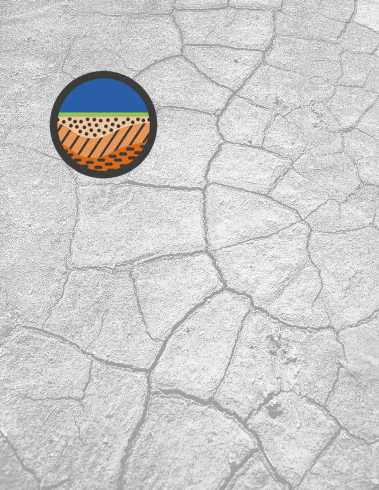
Geology and Soils
Geology is the composition and
properties of geologic materials (rocks
and sediments) underground and
outcropping at the land’s surface. It
includes bedrock, aquifers,
geomorphology for land and marine
environments, mineral resources and
overlying soils. Soil is the upper part of
the Earth’s crust, formed by mineral
particles, organic matter, water, air and
living organisms.
25
Why is this theme fundamental?
Geology data can reveal risks to population in the form of earthquakes, volcanoes and landslides; and
opportunities in the form of aquifers, mineral and fossil fuel resources.
The interface between rock, air and water hosts most of the biosphere. Geology reveals the parent
material for soils which is a key factor in vegetative land cover. This data can also analyse the potential
and limitations for agricultural production.
As population increases, the need for – and understanding of – reliable and sustainable practices to
provide food, fuel, and raw materials for economies is increasingly essential. Geology and soils
information has the potential to better inform us about best practices in land management, hazard
avoidance, soil erosion or salinity, soil pollution, nuclear waste storage, crop suitability, and conditions
that affect the structural engineering of buildings.
Which sustainable development goals (SDGs) will it help to meet?
SDGs 2,3,6,7, 8, 9, 11, 12, 13, 14, and 15 require geology and soils data.
Geospatial data features in more detail
Geology is generally characterised according to composition, structure and age. It also provides
knowledge about aquifers, i.e. subsurface units of rocks or sediments of sufficient porosity and
permeability to allow either a significant flow of groundwater or the abstraction of significant quantities
of groundwater. Aquifers have a cross linkage to groundwater in the Water theme.
Geology and Soils features and attributes will vary in significance by area. For example, soil order,
permeability, and depth, and other factors that directly determine agricultural capabilities should be
foremost in regions where agriculture does, or could, form a major part of the economy.
Soils include permafrost, wetlands, non-soil environments, and underwater sediments.
Possible sources of geospatial data
Geology:
• Global Lithological Map (GLiM);
• OneGeology; and,
• National Geologic Surveys.
Soils:
• Harmonized World Soils Database; and,
• National Soil Surveys.
Existing geospatial data standards
Note: This is indicative. Other lists of standards exist and UN-GGIM will seek to work with thematic experts
to develop a list of relevant data standards.
INSPIRE Data specifications on Geology, Soils and Mineral Resources:
• Geology: USGS NCGMP’09, and GEOSciML;
• Soils: FAO: World Reference Base for Soils Resources 2006; and,
• USDA NRCS SSURGO Data Model.
26
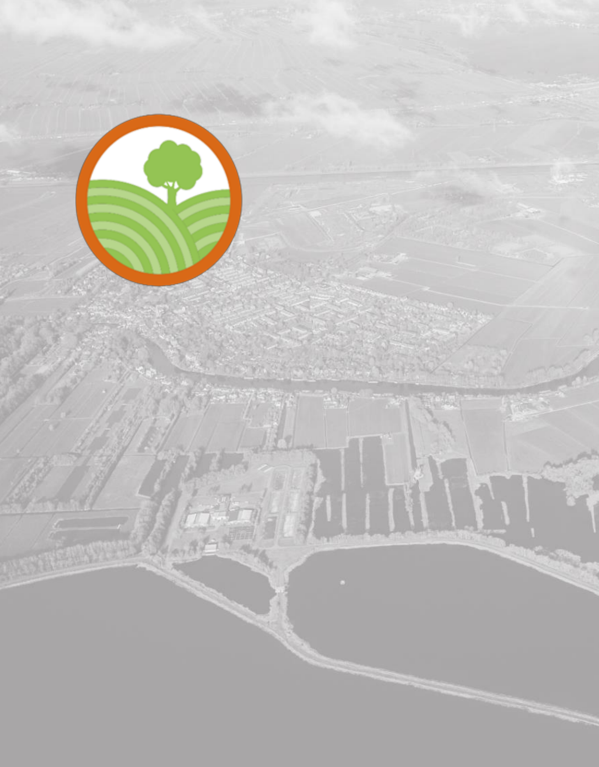
Land Cover and Land Use
Land cover represents the physical and
biological cover of the Earth’s surface.
Land use is the current and future
planned management, and modification
of the natural environment for different
human purposes or economic activities.
27
Why is this theme fundamental?
Land Cover data is required, for example, for developing land management policy, understanding spatial
patterns of biodiversity and predicting effects of climate change. It may also help to forecast other
phenomena, such as erosion or flooding. It is critical data in national assessments of biodiversity,
conservation efforts, and water quality monitoring.
The use of the land informs land management impacts, especially on changes in natural resources,
agriculture, conservation, and urban developments. Land cover and land use affect the greenhouse gases
entering and leaving the atmosphere and provide opportunities to reduce climate change. It is required
at a disaggregated level to allow local planning to manage and monitor land use at land parcel level.
Which sustainable development goals (SDGs) will it help to meet?
The theme plays a role in SDGs 1, 2, 3, 5, 6, 7, 8, 9, 11, 12, 13, 14 and 15.
Geospatial data features in more detail
Land Cover includes artificial surfaces, agricultural areas, forest, semi-natural areas, wetlands and
waterbodies etc. Land Use in some ways describes the human activities and the consequences of such
activities on the landscape.
Both Land Cover and Land Use are separated into different classes based on an agreed classification
schema which is usually hierarchical. The data can be represented either as polygons or as a raster. It may
also be found as attributes of a land parcel.
Possible sources of geospatial data
Classified Earth observation (EO) data, potentially as a Data Cube;
National datasets relating to environmental information and land parcels; and,
International organisations, Regional United Nations Centre, different levels of public authorities (in
particular municipalities) and the private sector.
Existing geospatial data standards
Note: This is indicative. Other lists of standards exist and UN-GGIM will seek to work with thematic experts
to develop a list of relevant data standards.
• ISO 19144-1:2009 – Geographic Information Classification system – Part 1 Classification system
structure (last reviewed in and confirmed in 2015);
• ISO 19144-2:2012 - Part 2 - Land Cover Meta Language (LCML) (there are limitations on this
standard);
• ISO 19115:2003 Geographic information – Metadata; and,
• INSPIRE data specification on Land Cover and on Land Use.

28
Land Parcels
Areas of land or more generally of the
Earth’s surface (land and/or water) under
common rights (such as ownership or
easements), claims (such as minerals or
indigenous land) or use. This theme can
include individual fields and cadastral
parcels.
29
Why is this theme fundamental?
Land parcel data is required for land management, infrastructure management and spatial planning. They
are a necessary part of a good secure land tenure system which in turn contributes to economic
development by enabling investments. At a local level they may be used as basis for taxation that often
provides the necessary funds needed to ensure basic services to the inhabitants. Land parcels are
necessary for agriculture improvements, such as land policy and land reform.
If there is a unique, commonly-adopted parcel reference it can form a common link between many other
data topics.
Which sustainable development goals (SDGs) will it help to meet?
Land parcels are a powerful governmental tool to achieve many SDGs, including 1.4, 2.4, 8, and 11.1.
Geospatial data features in more detail
The Land Parcels theme mainly comprises the feature land parcel with three basic attributes:
• The geographic location;
• A unique identification of the parcel; and,
• The type of parcel (may be implicit).
Other information may be attached to land parcels, such as land use or land cover. It is also recommended
managing the land parcel’s temporal information.
Land parcels may be associated with land registries (or equivalent) that establish the rights (and possibly
the restrictions and responsibilities) that a party (a natural or legal person) has on a land parcel - on
ground, below ground or above ground.
Possible sources of geospatial data
Land parcel data is frequently found in registers supporting the land tenure and transfer system of a
country. It may also be part of a taxation or planning system.
Existing geospatial data standards
Note: This is indicative. Other lists of standards exist and UN-GGIM will seek to work with thematic experts
to develop a list of relevant data standards.
• INSPIRE Data Specification on Cadastral Parcels – Technical Guidelines 3.1;
• ISO 19152: Land Administration Domain Model; and,
• International Land Measurement Standard (ILMS).
30
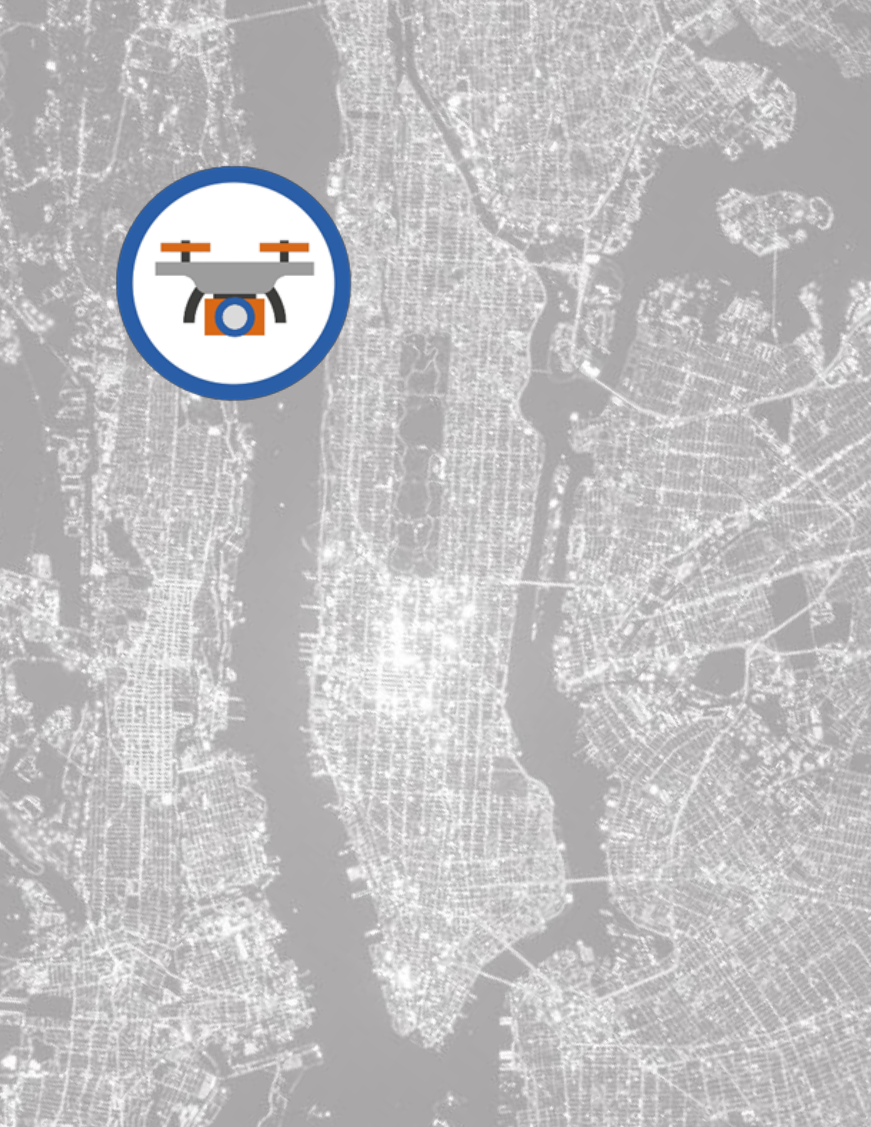
Orthoimagery
Orthoimagery is geo-referenced rectified
image data of the Earth's surface, from
satellite or airborne sensors.
Although technically not a theme in its
own right, orthoimagery is included as,
when interpreted, it’s a widely-used data
source for many other data themes.
31
Why is this theme fundamental?
Orthoimagery is used to produce, update or complement topographic data (by providing greater detail).
It’s very often the main source for Land Cover data. It can be produced relatively quickly from satellite
images and is therefore suitable to assess temporary phenomena, such as damages after a disaster or the
impact of pollution.
It’s useful for either human visualisation or machine interpretation. This image data is a record of the
Earth’s surface at the time of imaging, which then has immense historical value in the future.
Orthoimagery may be exploited using algorithms for automatic processing to extract features and
information such as buildings, roads, vegetation, soil moisture & water content, cloud cover, and to detect
changes such as land use.
Which sustainable development goals (SDGs) will it help to meet?
Orthoimagery is a potential data source for SDGs 2,6,9,11,14,15.
Geospatial data features in more detail
The Orthoimagery theme includes image products generated from sensors aboard drones, aircraft or
satellites. Sensors may produce multispectral data, giving images either in true colours, black and white,
or scenes based on infrared or radar sensors. Once captured by the sensor, these images may be subject
to a variety of treatments which are designed to increase data interpretation capabilities.
Possible sources of geospatial data
Many organisations produce and distribute orthoimagery for several purposes. National Mapping
Agencies usually carry out periodical space/aerial photo capture and orthophoto production through
national programmes. Some private companies do the same for commercial reasons, covering large parts
of the Earth. Public and private remote sensing satellite operators capture massive amounts of satellite
images which are distributed through multiple channels, both commercial and non-commercial.
Existing geospatial data standards
Note: This is indicative. Other lists of standards exist and UN-GGIM will seek to work with thematic experts
to develop a list of relevant data standards.
• INSPIRE Data Specification on Orthoimagery – Technical Guidelines;
• FGDC content standards for digital orthoimagery; and,
• USGS National Geospatial Program. Digital Orthoimagery Base Specification V1.0.

32
Physical Infrastructure
This theme includes industrial & utility
facilities, and the service delivery facilities
associated with administrative & social
governmental services such as public
administrations, utilities, transport, civil
protection, schools and hospitals.
33
Why is this theme fundamental?
This theme is fundamental as many sustainable development targets explicitly mention the accessibility
to basic services. The infrastructure of a country is the means by which services are delivered to the
population, be that hospitals, schools, energy or telecommunications.
Which sustainable development goals (SDGs) will it help to meet?
As a minimum, it is required for SDGs 3, 4, 6, 7, 9, 11.
Geospatial data features in more detail
A country's physical infrastructure consists of a broad array of systems and facilities that house and
transport people & goods, and provide services. Among other things, this infrastructure includes industrial
and utility facilities, civil protection sites, roads and railways, water supply, sewerage, storm water
drainage, dams, levees, weirs, schools, hospitals, and postal & telecommunications services.
These are human-made features and this theme relates mostly to the built environment, and focuses on
the service infrastructure.
Key attributes are the geometry, an identifier, a name (if any) and the type of service (school, hospital, …)
and other relevant attributes.
Possible sources of geospatial data
National and local government Utility and services companies
Existing geospatial data standards
Note: This is indicative. Other lists of standards exist and UN-GGIM will seek to work with thematic experts
to develop a list of relevant data standards.
• INSPIRE environmental facilities specification and guidance;
• INSPIRE Utility and governmental services specification and guidance; and,
• INSPIRE production and industrial facilities specification and guidance.

34
Population Distribution
Geographical distribution of people,
including population characteristics.
35
Why is this theme fundamental?
It’s vital to understand the spatial distribution of the population and its characteristics, as well as how
population impacts urbanisation, regional development or sustainability. More than half of the world’s
population already lives in urban areas, while the remaining rural population increasingly depends on
urban centres for social and economic progress. The theme supports policies to improve and create
sustainable rural and urban living conditions. Some populations are transitory as a result of mass
immigration, refuge, or displacement by large natural disasters or war. It’s important to understand how
policy and programmes impact migration and population growth, as well as economic activity, social well-
being, and quality of life.
Which sustainable development goals (SDGs) will it help to meet?
Population distribution is relevant to all of the SDGs, whether related to people or the environment.
Geospatial data features in more detail
There are two relevant types of population: 1) where people live, and 2) where people are at a given time.
Usually this is expressed as a count of people within an area unit such as a census tabulation area, or an
estimate within a city, postal code area, country, state or province. Recently, several global ‘gridded
population’ footprint estimates have been created, which specifically estimate where people are located
and where there are no people. Ideally 5-year age cohorts by gender would exist globally, which allow for
groupings to include specific at-risk populations, such as elderly, family composition, children, indigenous
population, immigrant/ethnic origin, and education. In the absence of such detailed cohorts, estimates of
these at-risk populations are needed. Additional demographics include rates of employment, personal
income, household income, and living conditions, i.e., the types of materials used for dwelling units.
Possible sources of geospatial data
• United Nations Population Division, and individual country census agencies;
• National Statistical Institutes;
• Commercial providers include: Michael Bauer Research GmbH, Environics, Esri, and Facebook;
• Other potential providers include: The European Union’s Joint Research Commission; Center for
International Earth Science Information Network (CIESIN), Columbia University; NASA
Socioeconomic Data and Applications Center (SEDAC); Oak Ridge National Laboratory (Landscan
products); and,
• KAPSARC.
Existing geospatial data standards
Note: This is indicative. Other lists of standards exist and UN-GGIM will seek to work with thematic experts
to develop a list of relevant data standards.
• U.N. Demographic manuals;
• ISO: 18391:2016; and,
• INSPIRE data specification on Population Distribution.

36
Transport Networks
Transport Networks are the suite of road,
rail, air and water transport routes and
their connectivity.
37
Why is this theme fundamental?
There are many use cases supporting this theme’s importance, including:
• Infrastructure, construction, asset management etc. – for effective planning and delivery;
• Mobility management (routing, traffic control, journey planning, car information systems, etc.) -
for a more sustainable transport sector;
• The transport industry itself - critical to the flow of goods and economy of a country; and,
• Management of environmental pollution as a result of the use of the networks.
Which sustainable development goals (SDGs) will it help to meet?
Transport is strongly relevant for the following SDGs: 2,3,8,9,11 as well as for many others which require
people to have access to services.
Geospatial data features in more detail
The Transport Networks theme mainly comprises four transport modes:
• Road includes roads, urban streets (as a subclass of road), pathways and routes;
• Rail includes train, tramway, metro, and funicular cog railways;
• Water includes marine and inland waterways, and ferry crossing features types; and,
• Air includes navigation facilities, air routes, and aerodromes.
Their main attributes are: location, name, identification codes, category, classification and connectivity.
Possible sources of geospatial data
• National Mapping Agencies;
• Transport Ministries; and,
• International Civil Aviation Authority.
Existing geospatial data standards
Note: This is indicative. Other lists of standards exist and UN-GGIM will seek to work with thematic experts
to develop a list of relevant data standards.
• INSPIRE Data Specification on Transport Networks – Technical Guidelines 3.2;
• ISO/AWI 8148:2012 Geographic Information –location based services – Linear referencing
System;
• ICAO Standards and Recommended Practices; and,
• ISO 14825 Intelligent transport systems-Geographic Data Files (GDF)-GDF5.0.

38
Water
Extent and conditions of all water
features including rivers, lakes and marine
features.
39
Why is this theme fundamental?
Water, as a gas, liquid and solid, covers more than 70% of the Earth's surface. Water is critical to almost
every process on Earth. It is essential to all living things – plant and animal.
Water is critical to sustainable development. From a human-centred systems perspective, water is a
precious natural resource, vital for life, development and the environment, depending on how it occurs
and how it is managed. Study of the Earth’s water cycle helps understand how it interacts with the
environment and how much is available for human use. Conversely, it’s also a potential danger to people
and property. Coastal and transitional waters as well as the shoreline and the shore are relevant since
these areas of land-water proximity are significant in terms of environment and intense economic activity.
Which sustainable development goals (SDGs) will it help to meet?
This theme has strong relevance for SDGs 6 and 14, and relevance to SDGs 2,3,7,9,11,12,13,14, and 15.
Geospatial data features in more detail
Water within this theme includes water in all three states – fresh, brackish and salt. Features include
rivers, lakes, reservoirs, marine & glacial features and groundwater. All features will have a geometric
location and identifier of some type. This might be a name. Possible attributes will vary by sub-theme i.e.
marine features may require different attribution such as salinity or temperature, as compared with
terrestrial rivers e.g. size and flow, but all can be thought of as relating to water quality, quantity and
form.
• Quality: e.g. physical parameters such as temperature, pH, e-coli, turbidity, salinity, etc;
• Quantity: e.g. volume, direction, velocity; and,
• Form: e.g. ice, snow, fresh, salt, season patterns e.g. monsoons.
Possible sources of geospatial data
• AQUASTAT - FAO database on water;
• UN-Water statistics and UN Statistics Division environment indicators;
• International Hydrological Programme (IHP) Water Information Network System (IHP-WINS);
• Global Water Forum and Global Water System Project; and,
• The International Water Management Institute (IWMI) Eco-Hydrological Databases.
Existing geospatial data standards
Note: This is indicative. Other lists of standards exist and UN-GGIM will seek to work with thematic experts
to develop a list of relevant data standards.
Some relevant standards for water resources related data:
• INSPIRE data specification on Hydrography;
• S-44 - IHO Standards for Hydrographic Surveys;
• S-57 - Transfer Standard for Digital Hydrographic Data;
• S-100 - IHO Universal Hydrographic Data Model;
• ISO 1900 - Series of geographic standards for hydrographic, maritime and related issues;
• ISO 14046:2014 - Environmental management -- Water footprint;
• ISO/TC 147 - Water quality;
• UNSD - International Recommendations for Water Statistics (IRWS); and,
• OGC® WaterML 2 Part 3 - Surface Hydrology Features (HY_Features) - Conceptual Model.

40
In Summary
The maxim ‘everything happens somewhere’ is an undeniable truth and one which we are wise to
embrace. We live in a world with increasing challenges which have to be met at national, regional, and
global levels. Hence the importance of having a universal understanding of where - a fundamental set of
global geospatial themes which are critical to understating, measuring and monitoring the world around
us.
Tasking a Working Group to identify and describe the Global Fundamental Geospatial Data Themes was
an important step forward in addressing this gap. The overarching principle of the 2030 Agenda for
Sustainable Development
8
is that no one should be left behind, calling for “data which is high quality,
accessible, timely, reliable and disaggregated by income, sex, age, race, ethnicity, migration status,
disability and geographic location and other characteristics relevant in national contexts”. To support
implementation at all levels, the 2030 Agenda included the need to exploit the contribution to be made
by a wide range of data, including Earth observations and geospatial information, the Global Fundamental
Geospatial Data Themes provide this foundation.
The Working Group on Global Fundamental Geospatial Data Themes did not embark onto a barren
landscape when it first started its task. Many countries and regions were already independently working
with fundamental geospatial data in their own parts of the world, albeit in varying degrees of
implementation and maturity. The exercise to identifying and then describing the themes was therefore
one of collaboration and global consensus, making use of existing knowledge and resources. This enabled
the activities of the Working Group to be clear and concise, purposely to ensure clear and achievable
outcomes. The endeavour to identify the common list of themes provided opportunities for bring
countries and stakeholders together in global and regional fora, to not only identify the themes but to
also understand their relevance and importance in the wider context.
The journey for the Working Group has not been long, only about four years. Since its inception, the group
has delivered the 14 Global Fundamental Geospatial Data Themes and their high-level descriptions, which
have subsequently been adopted by the Committee of Experts. However, defining these themes was not
an end in itself, but a springboard to greater heights. At the global level, they have been incorporated
within the wider work programme of the Committee of Experts, namely through the Integrated Geospatial
Information Framework and the Global Statistical Geospatial Framework; At the regional level, each of
UN-GGIM’s Regional Committees have subsequently included fundamental data within their work plans;
and, At the national level some Member States have adopted the themes within their national
programmes.
Now, the next steps include defining detailed regional specifications, and this is already underway at the
regional level. Ultimately, the Global Fundamental Geospatial Data Themes are in themselves a
fundamental building block for global geospatial information management and will no doubt continue to
be embedded in the work and activities of the Committee of Experts in the years to come.
It has been exciting watching the geospatial themes evolve from a dry list of possible themes into the
threads and links that help provide the global insight into why the where is important. ‘Everything
happens somewhere’ and the Global Fundamental Geospatial Data Themes provide the mechanism for
the where.
Ms. Clare Hadley Ms. Carol Agius
Working Group Technical Lead UN-GGIM: Europe Administrator
United Kingdom EuroGeographics
8
A/RES/70/1
41
This page left intentionally blank
42
